
Surveys and field capture
Turn field work into information you can see, search and use.
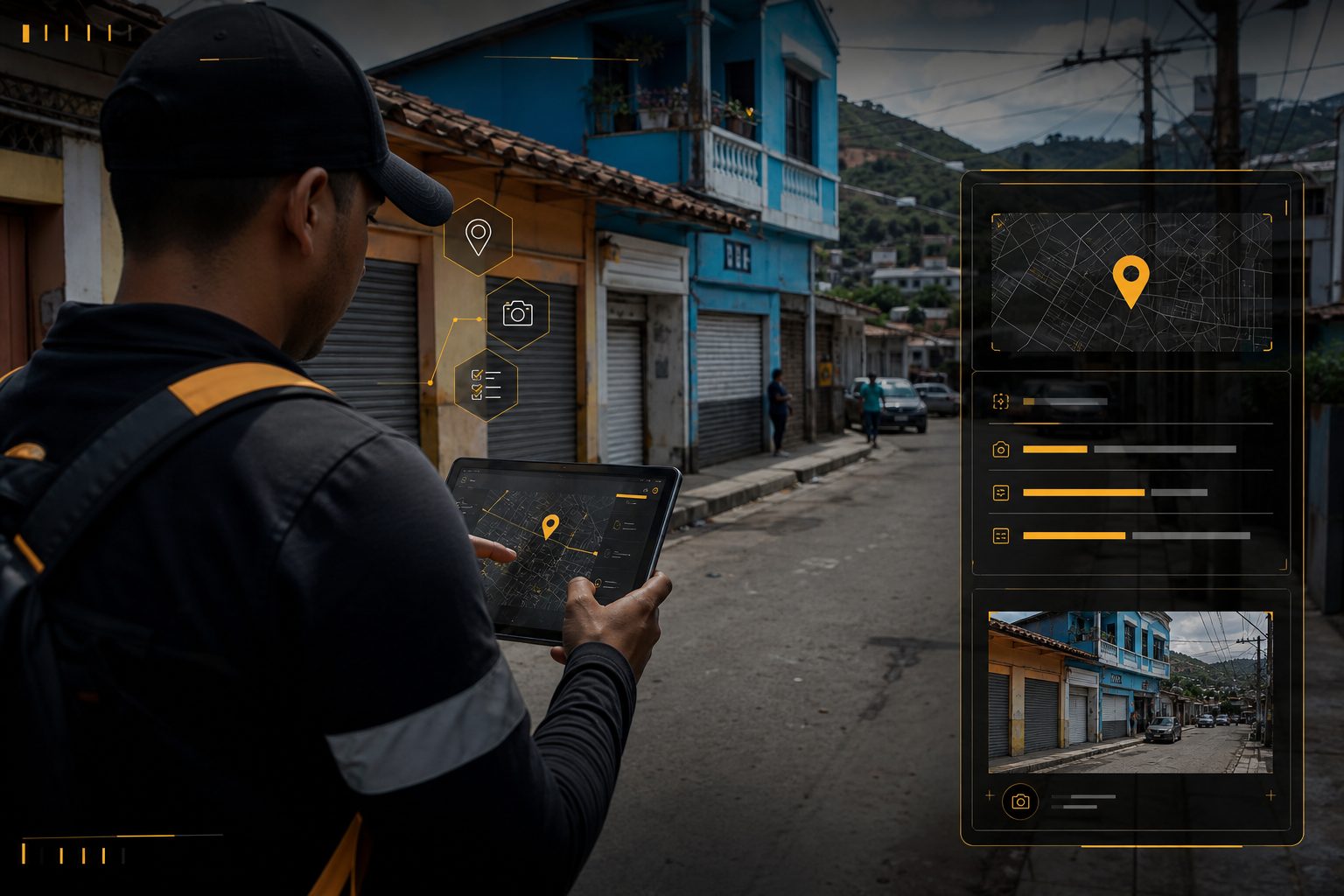
Censuses, surveys, commercial fieldwork and georeferenced capture from Android, with maps, photos and later lookup.
Flow
- 01Create a project
- 02Define general data
- 03Configure questions
- 04Android capture
- 05GPS and fine adjustment
- 06Photos and survey
- 07Database
- 08Query and analysis
Capabilities
- Android app, projects and configurable questions
- GPS, position adjustment and one or more photos
- Centralized storage
Possible deliverables
- Web platform, query URL, map and filters
- Search by parameters, customer type and geofences
- Tables and exports per project
- Captured points can feed AllSmartt GPS
Use cases
- Censuses and street surveys
- Commercial capture and customer mapping
- Territory studies, geographic inventories and field capture